Mount Glorious Mountain Trails
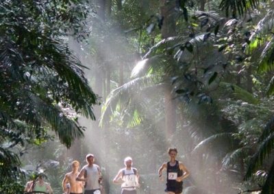
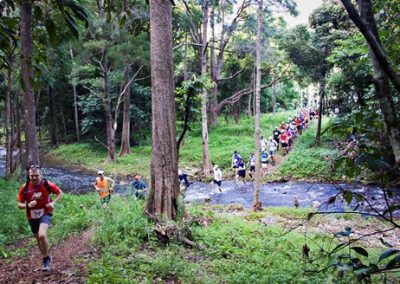
A tough and beautiful 22km run with 1200m of climb and 650m of descent. The race leads from Cedar Flats via the top of Northbrook Mountain and England Creek to the rainforest at the top of Mount Glorious, finishing at the clearing opposite the Maiala picnic area.
Results for 2022 are here

Race Photos
Registration
Where
Cedar Flats second picnic area, Red Cedar Park, Dundas 4306
Race Start
When
Sunday 12 November 2023
Entry Fees and conditions
Participants must be over 18 years of age on the day.
| Mt Glorious Trail (TRAQ Member) | A$76.50 |
| Mt Glorious Trail | A$85.00 |
Refunds are available up to two weeks before the event (less a $20 admin charge).
Event field limit
There is a restricted total number of participants for the event which varies each year.
Race Day
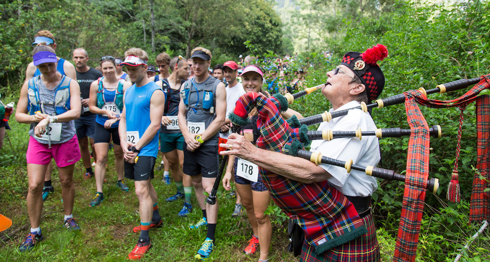
Event SchedulE
- 05:00 – Recommended arrival time for bus transport
- 05:15 – Bus transport to the race start leaves The Gap
- 06:50 – Wave 1 race briefing
- 07:00 – Wave 1 start, Wave 2 race briefing
- 07:05 – Wave 2 start, Wave 3 race briefing
- 07:10 – Wave 3 start, Wave 4 race briefing
- 07:15 – Wave 4 start
Buses back to Cedar Flats (start)
Two buses leaving every 30 minutes on half hour from 10.15 or when needed from top Mt Glorious. Last one leaves at approximately 11:15 amBack to The Gap
11:15 am
12:00 pm (dependent on requirements)
Hydration and Nutrition
This is a remote areas so you are required to carry your own water (1L). Top-ups are available at three self-help points and the one manned halfway checkpoint at England Creek. There will be no cups so you must carry a refillable container.
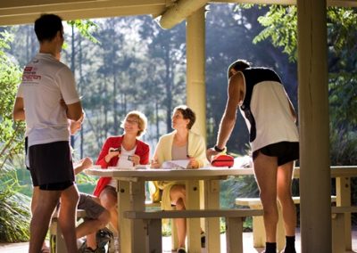
Post-race brunch of sandwiches, fruit and liquids (including coffee) are included. After race gear will be transferred from the start area to the finish area by the large bus.
If you bring your family/friends and want to make it a longer visit, the Maiala picnic area is a great spot for some further R&R. There are also toilets, picnic tables, barbecues and water (boil before drinking) at Cedar Flats.
Getting there
On entry you nominate to come by car or bus; the cost is the same.
Bus entries mean we can offer a larger field since car parks are limited at Mt Glorious. The bus leaves from the Park N Ride at the end of The Gap on Waterworks Rd (near the Enoggera Dam).
If you travel by car to the start: it takes 70 minutes from Brisbane central to travel via Mt Glorious to Red Cedar picnic area (White Cedar is for other members of the public). Please add time to register and get ready etc. At Red Cedar follow marshals directions to car parking.
Please share a car to travel to and from the race to reduce the traffic on the mountain and pressure on limited car parks. If you need a lift or if you are able to take someone else, please post on the TRAQ Facebook page or contact the race director, Julie, and she will put you in touch with someone.
Drive safely and be very careful in wet weather, because the road can be slippery. Use a low gear on the descent of Mt Glorious.
Race Start
From Brisbane: via Kelvin Grove Rd, left into Samford Rd, straight through Samford roundabout onto Mt Glorious Rd, right at top of range to Mt Glorious township, continue north along range then descend past Wivenhoe Lookout to the second picnic area at Cedar Flats.
From The Gap: Waterworks Road, which turns into Mount Nebo Rd, follow all the way over Mt Glorious down to the flats.
From Ipswich: Follow Ferndale and Wivenhoe-Somerset Rds
Course Details
From Cedar Flats valley climb east up the ridgeline firebreak, it is initially steep, but then runnable. Turn left at the first junction, then right at Northbrook Mountain junction and go down to England Creek (midpoint and manned check point) then there is a continuous 600m climb up to the top of Mount Glorious.
When you are about to reach the top, turn left onto the historic stone-lined western ridge single trail through the rainforest. There are a few stone stairs you will climb to reach the Western Window from which it is a flat run to the finish at the clearing opposite Maiala Park. Also, see map and profile below.
The course is on the west side of the ridge, which sounds relatively cool with trees providing shade over much of the course, but it can be hot in February, so make sure you wear appropriate gear, sunscreen and carry water.


- Distance: 22km
- Total Elevation Gain: 1,200m
- Total Descent: 650m
- Route: Strava
- Cut-off time: TBA

Checkpoints / Marshals
CP1 – Junction of Lawton Road and England Creek Road
This is a self help checkpoint. There will be water and a plastic box containing first aid and a map.
CP2 – England Creek – midpoint
this is a manned checkpoint, with fruit, water, sports drink and first aid.
CP3 – Joyners Ridge Road
Just after you leave England Creek Road – this is a self help checkpoint. There will be water and a plastic box containing first aid and a map.
CP4 – Halfway up Joyners Ridge Road
this is a self help checkpoint. There will be water and a plastic box containing first aid and a map.
Note:
This is a remote area so carry your own water (1L); top-ups are at three self-help points and the one manned midpoint checkpoint at England Creek.
There will be no cups so you must carry a refillable container.
General Information and Contacts
There are 4 start waves, wave 1 is the fastest. If you think you may have a chance to be among the fastest 3 men/women, make sure you enter in wave 1, because the prizes go to the first three women and men over the finish line. We don’t take your wave into consideration. (However, the published results will be adjusted by wave).
Conversely, if you are a slower runner, make sure you enter in wave 2, 3 or 4 . Please note that the start time difference between the first and the last wave is only 15 minutes, and only 5 minutes between waves.
Mount Glorious has limited parking facilities at the start and at the top of the mountain, and the traffic can be a bit dangerous as well, so please consider taking the bus from The Gap Park ‘n Ride (no extra expense).
If you do go by car, please share it with friends who are also participating. If you need a lift or if you are able to take someone else, please post on the TRAQ Facebook page or contact the race director, Julie, and I will put you in touch with someone.
Please note that after the race bus transport is provided to get you back to your car at the start line.
The buses from The Gap will leave at 5:15am. You will be checked in and receive your race bib on the bus.
Julie Ellett, Race Director
Mount Glorious Mountain Trails
Please email me for further race enquiries: julieellett@yahoo.com.au


